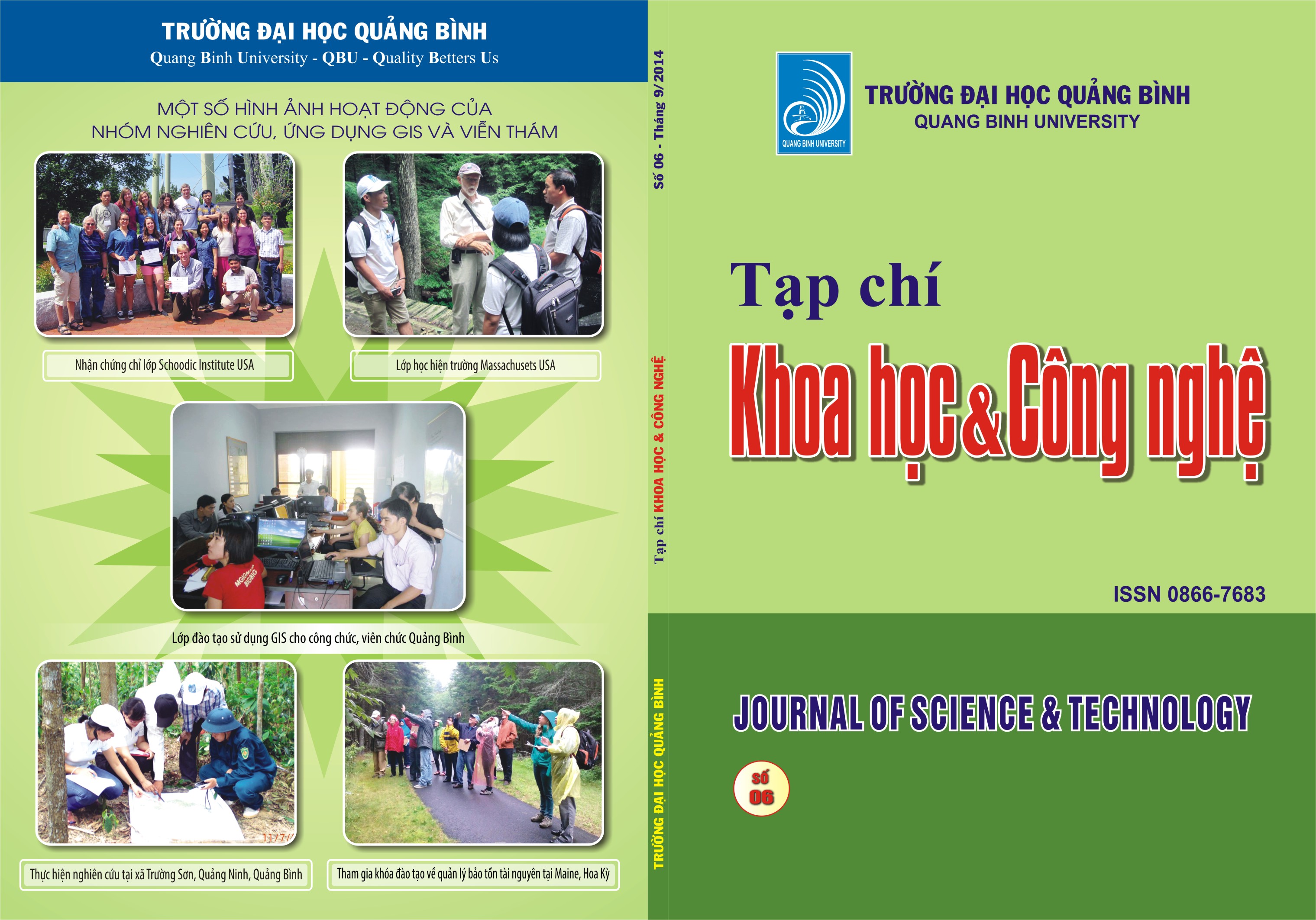
APPLYING GEOGRAPHIC INFORMATION SYSTEM (GIS) TO TEACHING FOREST SECTOR IN QUANG BINH UNIVERSITY
Abstract
Undergraduate training makes a great contribution to the developing of student’s specific knowledge of training major and mastering the practical skills, individual working capacity with creativeness and sharpening problem-solving ability. The teaching content, padegagory is consequently required to be closely tied with both theory and pratice, in particular the obligated credit of major course. Geographic Information System (GIS) with the advantages of space analyzing and attribute information managing makes great contribution to a more vivid and lively teaching method reflected in the combination of theory and practice. The research has shown the GIS applications in Forestry specialized in Quang Binh University through the results of structuring spatial data, attribute data and map construction monitoring forest structure.

